- 22
- 23shares
- Like
- X
- Digg
- Del
- Tumblr
- VKontakte
- Buffer
- Love This
- Odnoklassniki
- Meneame
- Blogger
- Amazon
- Yahoo Mail
- Gmail
- AOL
- Newsvine
- HackerNews
- Evernote
- MySpace
- Mail.ru
- Viadeo
- Line
- Comments
- Yummly
- SMS
- Viber
- Telegram
- Subscribe
- Skype
- Facebook Messenger
- Kakao
- LiveJournal
- Yammer
- Edgar
- Fintel
- Mix
- Instapaper
- Copy Link
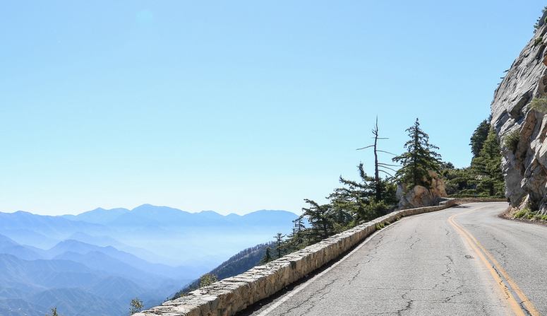
Enjoy a Road Trip along Angeles Crest Highway, with exciting stops along the way. Nothing characterizes southern California better than a road trip. And with hundreds of miles of roadway, drivers will never run out of options. That’s why a short trip over the Angeles Crest Highway from La Canada to Mountain High in Wrightwood is the perfect way to spend a day exploring.
Starting from the City of La Canada, the Angeles Crest Highway crosses the rugged terrain of the San Gabriel Mountains and rises to over 10,000 feet at its peak. As travelers journey along the highway, the Antelope Valley can occasionally be seen in the distance.
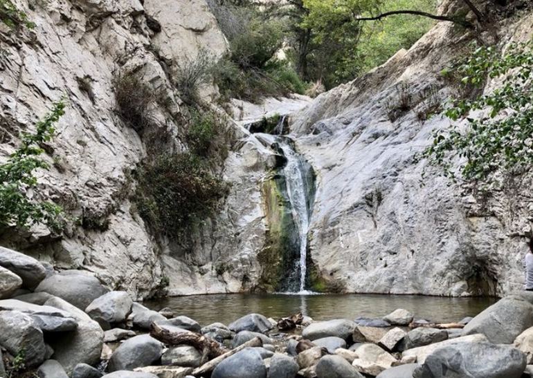
Switzer Falls Trail
First up is a trail to Switzer Falls, a seasonal 50-foot waterfall. This hike is one of the most popular in the San Gabriel Mountains. Even though the sign says one mile, it’s 2.2 miles each way to the falls. If you plan on stopping at any developed areas in the Angeles National Forest with parking lots, picnic tables, or toilet facilities, a $5.00 Adventure Pass is needed.
Historic Mount Wilson
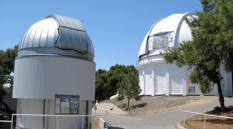
Next is a side trip to Mount Wilson. Situated high above the City of Pasadena at an altitude of 5,715 feet, Mount Wilson is home to the first television antenna erected in 1947. Located on the summit of Mount Wilson is the observatory, which is visible from much of the Los Angeles area. Here visitors can view the historic Hooker 100-inch telescope inside the dome and the small museum. The observatory is an exciting stop before continuing the trek across the Angeles Crest Highway.
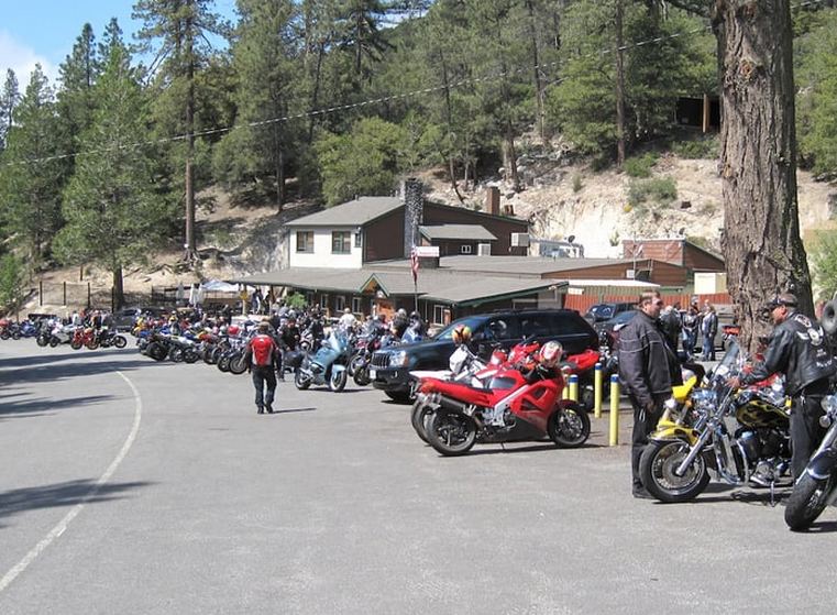
Newcomb’s Ranch Roadhouse
Once you are back on Angeles Crest, it’s a scenic 13-mile drive to historic 1939 Newcomb’s Ranch Roadhouse. The ranch has operated as a restaurant, hotel, general store, and gas station popular with bikers. Most weekends, the parking lot will be packed with motorcycles and sports cars. Open for breakfast and lunch; everyone is welcome here. So stop in for a burger, homemade chili, or a sandwich on your trip along the highway. Website. Newcomb’s has closed and looking for a new owner.
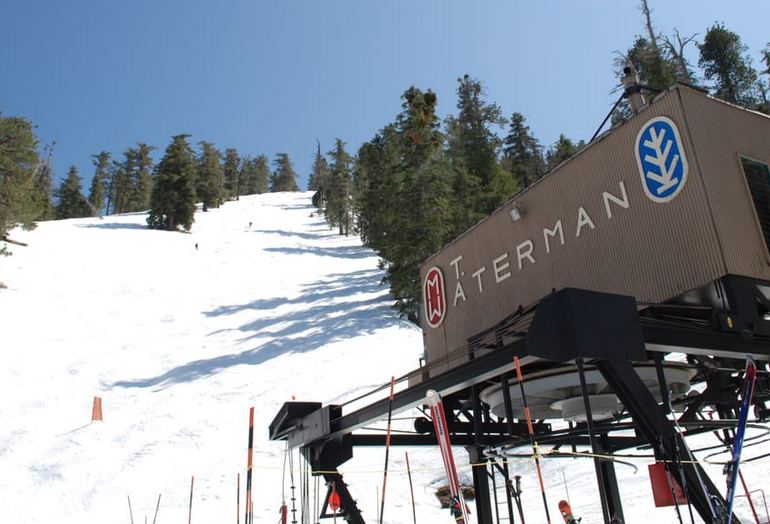
Mount Waterman
Another 7 miles from Newcomb’s Ranch, midway along the route, is the Mount Waterman Ski and Snowboarding Area. More modest than Mountain High, this is the closest resort to Los Angeles and is less than an hour away. Mount Waterman features three double chairlifts and terrain for all levels. Mt Waterman is only open skiing during heavy snow years. During the summer, they offer scenic chair lift rides. Website.
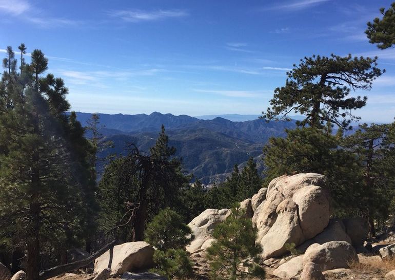
Continuing east, the San Gabriel Mountains are bounded on all sides by faults and rocks that show their geologic history. The road is constantly under attack by falling rocks, but many measures have been taken to keep them off the roadway, including two magnificent tunnels built-in 1950. Even so, after heavy rainstorms or snowmelt, it is not unusual for the road to be closed for weeks at a time, and a portion of the road is closed during the winter.
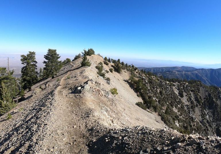
Mount Baden-Powell Summit
Next along the way east is Dawson’s Saddle, the highest point along the Angeles Crest Highway at an elevation is 7,903 feet. Named for Ernest Dawson, the President of the Sierra Club in the mid-1930s, and owner of Dawson’s Book Shop, the oldest continuously operating bookstore in Los Angeles, since 1905, hikers can take the Dawson Saddle Trail to the Pacific Crest Trail or Baden-Powell Summit.
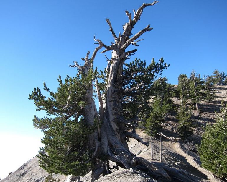
The Wally Waldron Tree
At the end of the trails, the “Waldron Tree” is estimated to be over 1,500 years old, the oldest tree in the San Gabriel Mountains. Hikers can enjoy the view from the summit, then return via the same route, or take a different trail to Vincent Gulch, where there is access to many hiking trails.
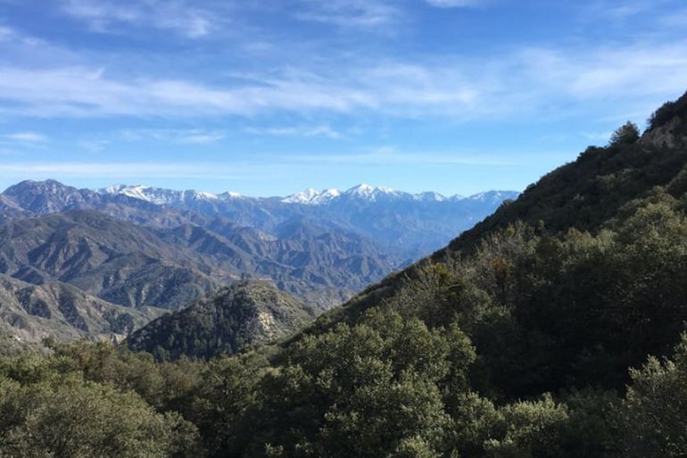
Grassy Hollow Visitors Center
A bit further east of Mount Baden-Powell is the Grassy Hollow Visitors Center, open on the weekends. The visitors center also hosts various activities and displays for visitors to learn about the surrounding forest and its creatures. Also, here, there is a picnic area and a group campground. At nearby Inspiration Point, hikers can look down at the east fork of the San Gabriel River, far below in the distance.
Final Stop Wrightwood
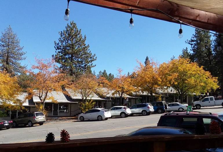
Our final stop on Angles Crest Highway is the small mountain community of Wrightwood. This little town is full of history, and an excellent way to learn about it is at the Wrightwood Historical Society Museum in the town’s old firehouse. There are quaint shops and family restaurants, making Wrightwood the perfect place to relax before you head home. Or, for those that want to stay a few days, Wrightwood offers accommodations from bed and breakfasts to cozy cabins.
Southern California Road Trip Ideas
Descanso Gardens Day Trip
- 22
- 23shares
- Like
- X
- Digg
- Del
- Tumblr
- VKontakte
- Buffer
- Love This
- Odnoklassniki
- Meneame
- Blogger
- Amazon
- Yahoo Mail
- Gmail
- AOL
- Newsvine
- HackerNews
- Evernote
- MySpace
- Mail.ru
- Viadeo
- Line
- Comments
- Yummly
- SMS
- Viber
- Telegram
- Subscribe
- Skype
- Facebook Messenger
- Kakao
- LiveJournal
- Yammer
- Edgar
- Fintel
- Mix
- Instapaper
- Copy Link
