Canyonlands National Park: What to See in One Day
Canyonlands National Park stretches across 337,598 acres of southeast Utah, where the Colorado and Green Rivers have cut a maze of canyons, mesas, buttes, and sandstone spires. Established in 1964, it is Utah’s largest national park and one of the most striking landscapes on the Colorado Plateau. From the mesa-top overlooks of Island in the Sky to the striped rock towers of the Needles, the park feels enormous even on a single day.
Canyonlands is quieter than nearby Arches, yet the views are broader and the distances larger. Give the park a full day at Island in the Sky, and you will understand why people who came for Delicate Arch leave talking about Grand View Point. If a second day opens up, spend it in the Needles or on the river. The canyons will still look unfinished when you drive out, which is exactly why this park rewards another trip.
Island in the Sky: The Best District for a Day Trip
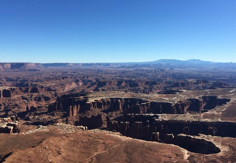
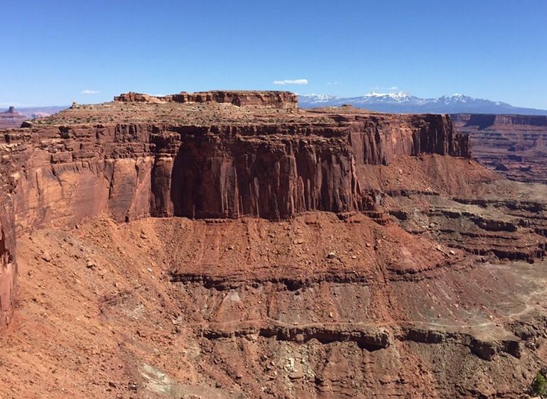
Island in the Sky sits on a broad sandstone mesa 1,000 feet above the surrounding canyons. It is the easiest district to reach, the most visited, and the one that rewards a short stay. The paved scenic road runs about 34 miles round trip from the visitor center out to Grand View Point, with pullouts that look across White Rim sandstone, the Colorado and Green River corridors, and the distant La Sal Mountains.
Start at the Island in the Sky Visitor Center for water (available outside the building spring through fall), restrooms, and the latest trail notes. From there, the highlights stack up quickly.
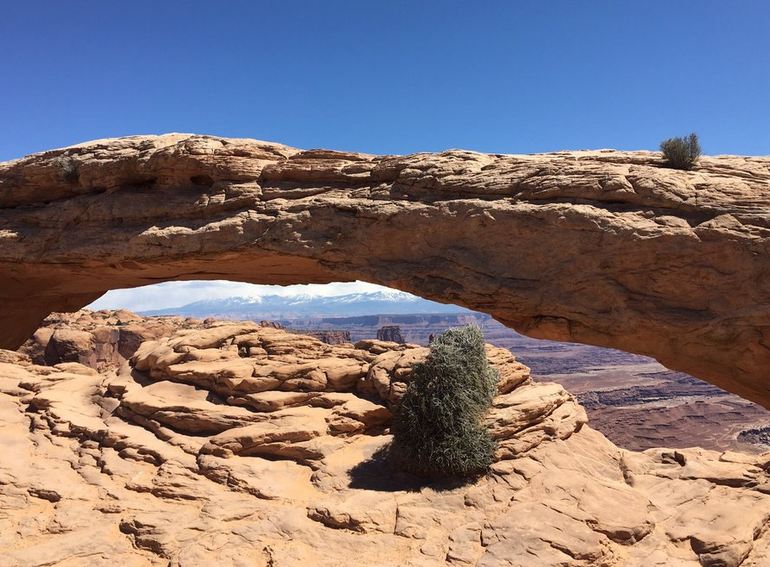
Mesa Arch is the stop almost everyone plans around. The easy loop is about 0.5 to 0.7 miles and takes 20 to 45 minutes. The arch sits on the cliff edge and frames Buck Canyon, Monster Tower, and Washer Woman Rock. Sunrise draws photographers because the arch’s underside glows orange as light hits the canyon walls. Arrive early if you want space at the rim; the parking area fills fast on spring and fall mornings.
Grand View Point anchors the mesa’s south end. A short paved path leads to the main overlook, and an easy rim trail continues about one mile round trip for a wider sweep of the Needles, Monument Basin, and the river confluence far below. Green River Overlook is another strong sunset stop, looking west across the Green River’s canyon. Other worthwhile pullouts include Shafer Canyon Overlook, Buck Canyon Overlook, and Candlestick Tower Overlook.
If you have extra hours, add Upheaval Dome, a crumpled crater that geologists still debate as either a salt dome collapse or an ancient impact, or scramble up Whale Rock for a slickrock view of the western mesa. Longer routes such as Murphy Point or Syncline Loop need a full afternoon and plenty of water.
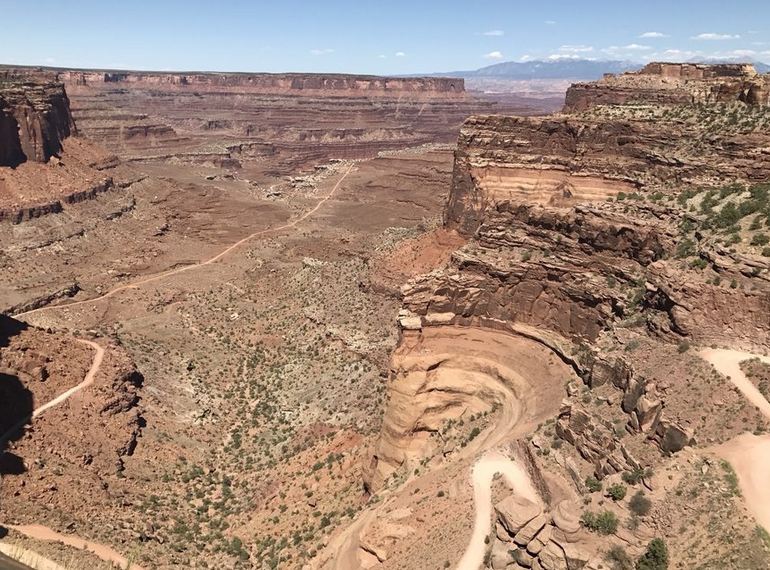
Visitors with high-clearance four-wheel-drive vehicles sometimes drop off the mesa on the Shafer Trail toward the White Rim Road. That 100-mile loop is a multi-day trip for most people, and day use on White Rim Road requires a permit reserved on Recreation.gov (available starting at 8 a.m. mountain time the day before). ATVs, UTVs, and OHVs are not allowed in the park.
The Needles District: Sandstone Spires and Hiking Trails
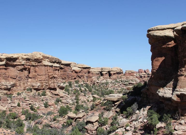
The Needles District takes its name from banded Cedar Mesa sandstone towers that rise hundreds of feet above grassy parks and narrow joints in the rock. It sits about 74 miles from Moab: south on U.S. 191, then west on Utah 211 for roughly 35 miles. Plan at least 90 minutes each way. The drive itself is part of the visit, passing Newspaper Rock State Historic Monument on the way in.
This district rewards walkers rather than those who want to view it from the car. Short interpretive trails near the visitor center include Roadside Ruin, a small Ancestral Puebloan granary, and Cave Spring. For the signature Needles landscape, drive toward Big Spring Canyon Overlook and, if your vehicle and permit allow, continue toward Elephant Hill. Graded gravel and four-wheel-drive roads reach some of the best viewpoints, but many require a day-use permit.
Hikers often aim for Chesler Park and the Joint Trail, a route that threads a meadow ringed by spires and squeezes through slots only a foot or two wide. Those trails take most of a day. Needles is open 24 hours, and the visitor center typically operates daily from early spring through late fall. The visitor center provides drinking water and, seasonally, the campground does too.
The Maze and Horseshoe Canyon
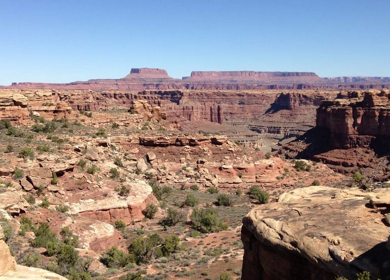
The Maze is the park’s most remote district and a poor fit for a casual day trip from Moab. Reaching Hans Flat Ranger Station involves long dirt roads, and exploring the Maze itself usually means high-clearance four-wheel drive, extra fuel, and overnight gear. Cell service is essentially nonexistent. Rangers do not winch stuck vehicles, and a tow from below the Flint Trail can cost thousands of dollars. This is backcountry for experienced travelers who already know desert navigation and self-rescue.
A more approachable side unit is Horseshoe Canyon, added to the park in 1971 and reached from Utah 24 near Goblin Valley State Park via about 30 miles of graded dirt road. The hike to the Great Gallery is about seven miles round trip with a steep 750- to 780-foot descent at the start and the same climb on the way out. Budget five hours or more. The Great Gallery is a 200-foot Barrier Canyon Style pictograph panel with life-sized figures painted thousands of years ago. Pets are not allowed on the trail. Overnight camping is not permitted inside the canyon, though primitive camping is allowed at the west-rim trailhead on adjacent BLM land.
The Rivers: Flat Water and Cataract Canyon
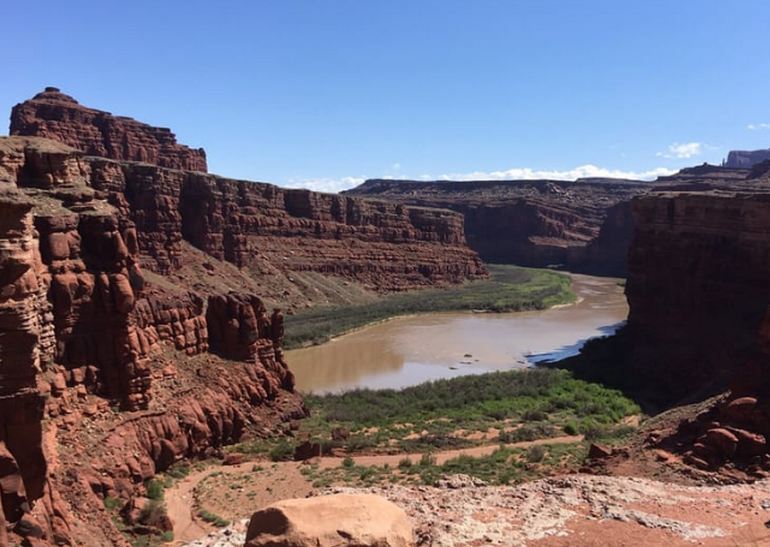
The Colorado and Green Rivers created Canyonlands, and floating them is the only way to see the inner canyons at water level. Above the confluence, both rivers offer calm flat-water trips suited to canoes, kayaks, and guided rafts. Below the confluence, the combined current plunges into Cataract Canyon, where about 14 miles of rapids range from moderate to serious Class IV and higher, depending on flow.
Private boaters need permits. Most first-time visitors book a commercial trip departing from Moab. Whitewater runs through Cataract Canyon are multi-day expeditions, not a quick add-on after Mesa Arch. A flat-water day on the Colorado or Green still takes planning around put-in points, shuttle logistics, and weather. Summer monsoon storms can raise water quickly and send debris downstream.
Camping in Canyonlands National Park
In-park camping is limited, basic, and split by district.
Willow Flat Campground in Island in the Sky has 12 sites, all first-come, first-served, open year-round. The fee is $15 per night. Sites hold vehicles up to about 28 feet. The campground has picnic tables, fire rings, and vault toilets, but no water. Fill bottles at the visitor center when that tap is on. Green River Overlook is a short walk away. Sites often fill by late morning from spring through fall, so arrive early if you hope to stay.
Needles Campground has 26 individual sites and a $20 nightly fee. You can reserve some sites on Recreation.gov during the busy spring and fall seasons; the rest, and all sites in the off-season, are first-come, first-served. Water is seasonal. Three group sites are listed separately. Needles also has an amphitheater used for ranger programs in spring and fall.
How to Get There and How Long to Stay
Canyonlands sits in southeastern Utah, with Moab as the usual base. Island in the Sky is 32 miles from Moab via U.S. 191 north and Utah 313 west. The Needles is about 74 miles away. The Maze, via Hans Flat, is a much longer dirt-road approach from Utah 24. Grand Junction, Colorado, is roughly 115 miles from the Island in the Sky area; Salt Lake City is about 240 miles.
Because the districts do not connect, pick one focus for a single day. A realistic Island in the Sky day looks like this:
- Leave Moab before sunrise if Mesa Arch is the goal.
- Stop at the visitor center, then hike Mesa Arch.
- Drive the scenic road, stopping at Shafer Canyon, Buck Canyon, and Grand View Point.
- Add Green River Overlook, White Rim Overlook, or Upheaval Dome if time and heat allow.
- Return to Moab for dinner, or continue to Dead Horse Point State Park, which sits along the same Utah 313 corridor.
Use the official park site: nps.gov/cany. Confirm road conditions, visitor center hours, and alerts the morning you go.
Discover more from Daytrippen.com
Subscribe to get the latest posts sent to your email.