Scenic Stops Along Highway 395 in Mono County
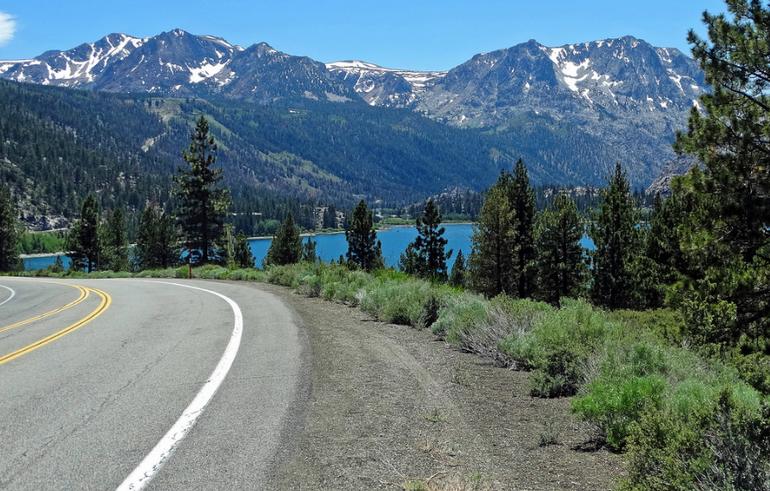
Highway 395 is the backbone of Mono County. The route runs north and south through east-central California, with the Sierra Nevada on the west and a high-desert valley stretching toward Nevada on the east. Between them lie sagebrush flats, volcanic cones, alpine lakes, gold-rush ruins, and geothermal pools.
The county covers about 3,030 square miles and is roughly 108 miles long and 38 miles wide. About 94 percent of the land is public, much of it within Inyo National Forest, Humboldt-Toiyabe National Forest, and the John Muir and Ansel Adams wilderness areas. Use this guide as a menu, not a rigid itinerary. Distances are short enough to stack two or three stops or linger at one and still be back on the highway before dark.
Mono Lake: Tufa Towers and an Ancient Inland Sea
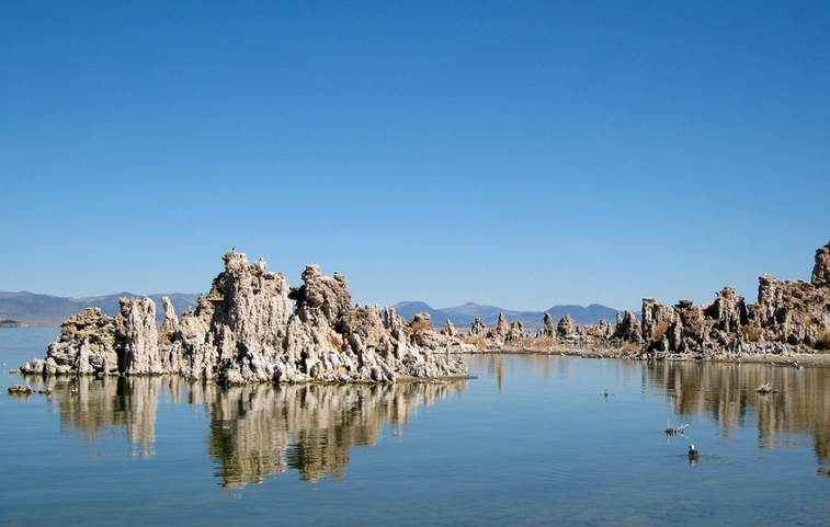
Mono Lake sits just east of Highway 395 near Lee Vining. It covers about 60 to 65 square miles, has no outlet to the ocean, and is one of the oldest lakes in North America, with an age often given at more than 760,000 years and sometimes more than a million. Streams from the Eastern Sierra keep feeding it minerals. Evaporation leaves those minerals behind, so the water is about two and a half times as salty as the ocean and far more alkaline.
The best close look is at South Tufa, off Highway 120 east of 395, where a short interpretive trail leads among the towers. The Mono Basin Scenic Area Visitor Center, just off 395 north of Lee Vining, is a must-stop for maps, exhibits, and current conditions.
June Lake Loop: Four Lakes in a Horseshoe Canyon
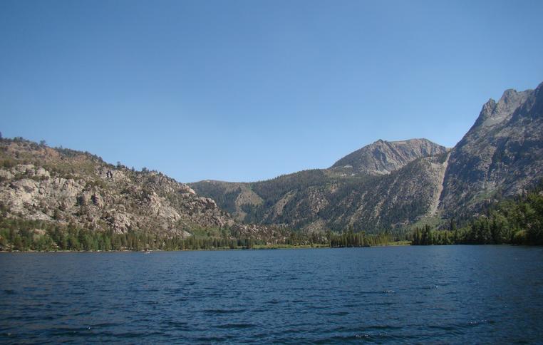
About 10 miles south of Mono Lake, Highway 158 leaves 395 and traces the June Lake Loop, a 15-mile circuit through a steep horseshoe canyon. The lakes, north to south on the usual circuit, are Grant, Silver, Gull, and June. Carson Peak and other Sierra walls rise close enough that the drive feels like a short alpine detour rather than a highway spur.
Along the loop, you will find restaurants, small lodges, and the Double Eagle Resort and Spa. June Lake village itself is compact: a brewery, pie shop, and a few places to eat after a day on the water.
Mammoth Lakes: A Four-Season Base To Explore Mono County
Less than 30 minutes south of June Lake, Mammoth Lakes is the county’s only incorporated town and its busiest hub. Mammoth Mountain, an extinct volcano, reaches 11,053 feet. In winter, the resort spreads across more than 3,500 acres, with a long season that often runs from November into May or June and, in heavy snow years, even later. Expect about 350 to 400 inches of snow in a typical season, dozens of lifts (figures vary by year as the lift mix changes), and a large terrain-park system.
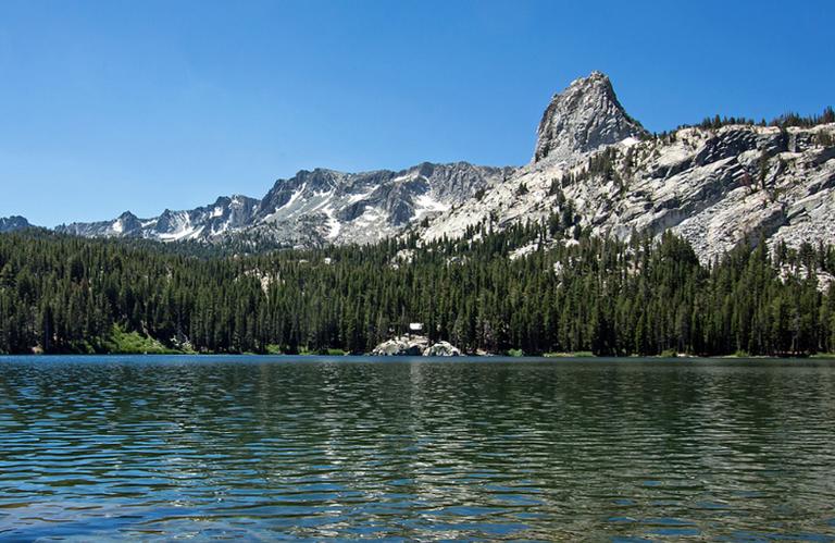
When the snow melts, the same mountain becomes a hiking and mountain-biking playground. The scenic gondola climbs to the summit, where an interpretive center sits above 11,000 feet with views across the Minarets and the high desert. Down in town, Lake Mary Road leads into the Lakes Basin, a cluster of trailheads, picnic spots, and trout water that can fill an entire afternoon without leaving the paved loop. From Mammoth Lakes, head to Devils Postpile and Rainbow Falls.
Mammoth is also near two nearby attractions that many Highway 395 travelers miss.
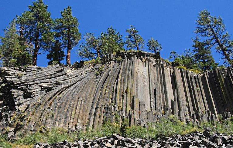
Devils Postpile and Rainbow Falls
Devils Postpile National Monument protects a wall of columnar basalt, formed when a lava flow cooled and cracked into tight, geometric pillars. In summer, a mandatory shuttle from the Mammoth Mountain area is the usual way in. An easy walk of less than half a mile reaches the base of the columns. Rainbow Falls, a 101-foot drop on the San Joaquin River, is a longer outing: about 2.5 miles out and back from the monument area, with spray and a wide amphitheater of rock at the bottom.
Check access before you go. Road and shuttle rules change with snow, fire, and season, and the monument sits on the west side of the crest, so it is a half-day side trip rather than a quick pullout from 395.
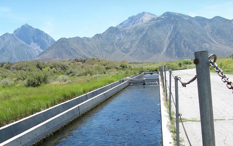
Hot Creek Fish Hatchery
Less than 10 miles east of Mammoth Lakes, Hot Creek Fish Hatchery is a free stop run by the California Department of Fish and Wildlife. Raceways hold trout at different growth stages. Staff raises millions of fish each year for planting in Eastern Sierra lakes and streams. Feeding time is the lively moment when the water surface breaks into a rolling mass of trout. It is a short, easy visit that works well with kids or as a stretch-your-legs break between mountain and highway.
Nearby Hot Creek Geologic Site is a different kind of stop: steaming vents and scalding turquoise water. Look, do not soak. The creek here is dangerously hot and chemically harsh.
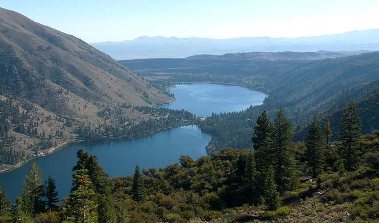
Bridgeport and Twin Lakes
North of Mono Lake, Bridgeport is the county seat and a useful year-round anchor. The 1881 courthouse is one of the oldest in California still in continuous use. The town sits in a broad valley with easy access to the Hoover Wilderness and a reputation for winter backcountry travel when the snowpack is in.
Twin Lakes, a short drive west of town, is the summer draw. Rainbow, brown, and cutthroat trout swim the lakes and nearby rivers; some seasons also bring kokanee. Twin Lakes Resort stocks a tackle shop, rents boats (including pet-friendly options), and offers kayaks, paddleboards, and mooring. The setting is classic Eastern Sierra: two lakes, a granite wall, and enough shoreline for a slow picnic or a full day on the water.
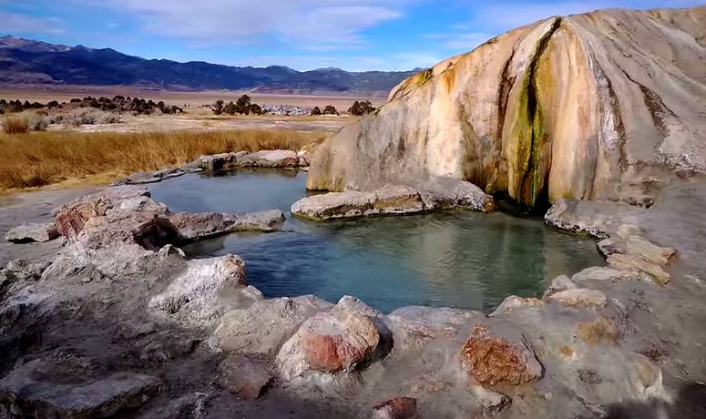
Travertine Hot Springs: A Free Soak Near Bridgeport
Two miles southeast of Bridgeport, Travertine Hot Springs sits on mineral terraces with a wide view of the Sierra. Source water comes out of the ground far hotter than a soak—around 180°F at the vents—and cools as it spreads through volunteer-built rock pools.
The hot spring site is primitive, free, and popular at sunset. Bring water, wear shoes on the uneven mineral crust, and leave the pools cleaner than you found them. Buckeye Hot Springs, west of Bridgeport on a forest road, is a second soaking option when that road is open: creek-side pools and a hot waterfall rather than open-terrace views.
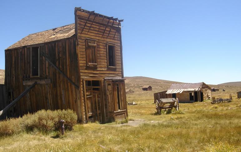
Bodie State Historic Park: A Boomtown in Arrested Decay
Bodie is the county’s most famous historic site and worth the rough last miles. From Highway 395 about seven miles south of Bridgeport, State Route 270 runs east 13 miles. The final three miles are unpaved and slow. The park sits at 8,375 feet; the access road is often closed by snow, so summer and early fall are the reliable seasons.
Peer through windows rather than stepping into interiors unless a tour allows it. The Standard Mill has seasonal guided visits. Ghost stories travel easily in a place this empty, but the real draw is the ordinary debris of a town that stopped: calendars on walls, bottles on shelves, wind in the streets. Confirm hours and the road before you leave 395. Summer days typically run 9 a.m. to 6 p.m.; winter hours are shorter, and the park is open only a few months.
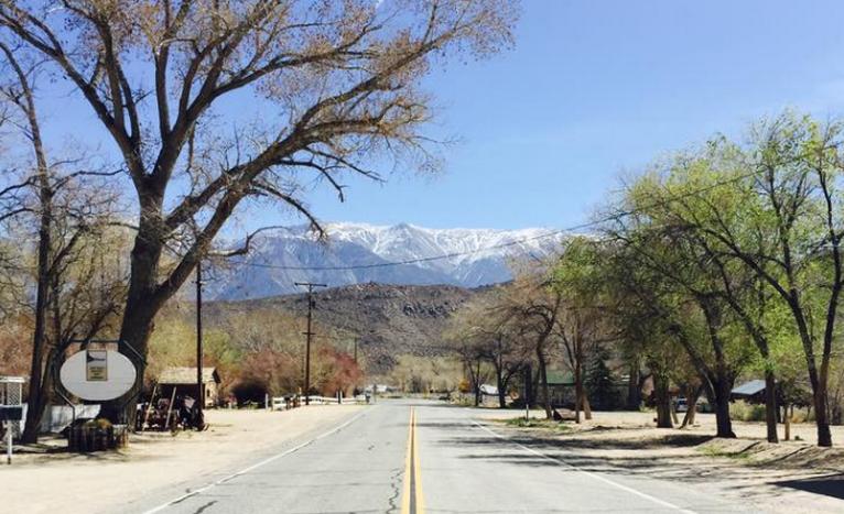
Benton Hot Springs: A Quiet Soak on the County’s East Side
Benton Hot Springs is a slower, more private contrast to the roadside pools near Bridgeport. The small resort centers on a 1940s inn with seven rooms. Two historic homes include private hot tubs, and additional private tubs serve day and overnight guests. The setting is high desert rather than alpine forest, which makes it a good last stop if you are heading toward Highway 6 or looking for a soak after a dusty afternoon at Bodie.
Mono County rewards travelers who slow down on 395 instead of treating the highway as a corridor between Yosemite and the desert. The county is public land first, towns second, and the best days leave room for an extra lake pullout or a longer sit in a hot pool while the peaks turn pink. Choose a stretch of the highway, pick two or three stops above, and let the next turnout decide the rest.
Discover more from Daytrippen.com
Subscribe to get the latest posts sent to your email.