Mount Diablo State Park – Trails, Camping & Views
Mount Diablo rises 3,849 feet above the surrounding valleys, a massive upthrust of rock that rewards visitors with one of the widest views in California. On a clear day you can see 35 of the state’s 58 counties from the summit, with the Pacific Ocean, Sierra Nevada, and Central Valley all in the same sweep of horizon.
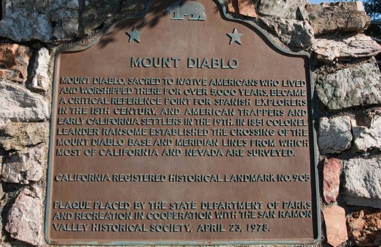
Most people drive straight to the top for that panorama. The smarter move is to slow down and explore the park on the way up. An 11-mile road loops toward the summit, but dozens of trails branch off into canyons, oak woodlands, and rocky ridges. You can hike, bike, ride horses, scramble on sandstone, or camp under the stars. The mountain also holds deep cultural meaning for the Bay Miwok people, who considered it a sacred place of creation and ceremony long before Spanish explorers arrived.
Start your visit at the Mitchell Canyon Interpretive Center on the north side of the park, then work your way up through Rock City and the trail network before finishing at the historic Summit Visitor Center. Bring water, a map, and time—there is far more here than a quick stop at the top.
Mitchell Canyon Interpretive Center: The Best Place to Start
Pull into the Mitchell Canyon staging area at the south end of Mitchell Canyon Road in Clayton. The small interpretive center is staffed by knowledgeable park volunteers on weekends and some holidays (summer hours typically 8 a.m.–4 p.m.; winter hours shorter). Inside you will find trail maps, geology and wildlife displays, plant information, and a modest gift shop.
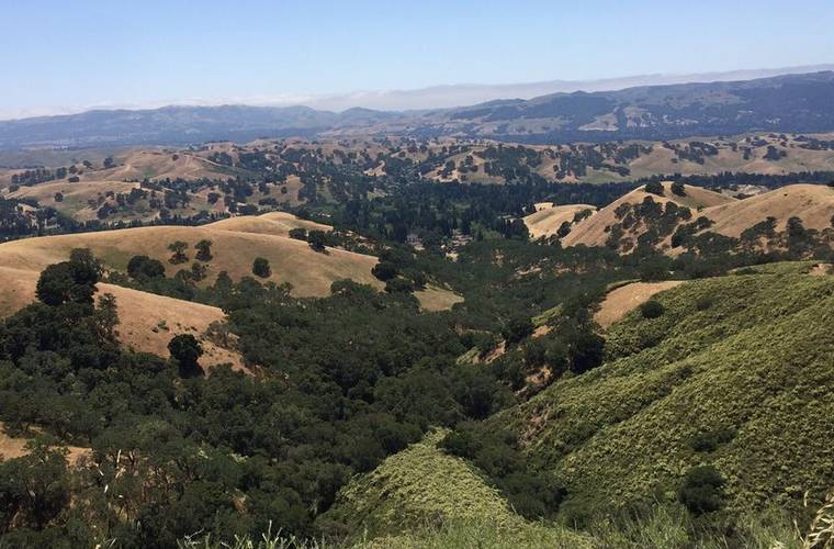
This side of the mountain is especially strong in spring, when wildflowers carpet the canyons. Several trailheads leave from here, ranging from easy nature walks to long climbs toward the summit. Grab a bottle of water and a trail map before you head out—the volunteers can help you find a route that matches your time and energy.
Trails, Hiking & Outdoor Adventures
Mount Diablo offers everything from short interpretive loops to all-day ridge traverses. One of the easiest and most rewarding options near the top is the Mary Bowerman Trail, a roughly 0.7-mile loop that circles just below the summit. Named for the botanist and conservationist who co-founded Save Mount Diablo, the trail includes interpretive stops covering plants, geology, and fire recovery. Part of it is paved and accessible, and the views rival those from the observation deck with far fewer people.
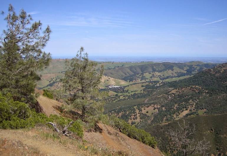
Longer routes climb through oak woodland and chaparral from Mitchell Canyon, pass Eagle Peak, or link campgrounds with the summit. Mountain bikes are allowed on paved roads, fire roads, and designated trails. Horseback riders also use many of the fire roads. Rock climbers find solid sandstone challenges at Boy Scout Rocks and Sentinel Rock.
Wildlife is common—look for deer near Deer Flat and Juniper Camp, and keep an eye out for lizards, birds of prey, and the occasional tarantula migration in early fall. Poison oak grows throughout the park, so stay on trails and learn to recognize the plant.
Rock City: Sandstone Formations, Wind Caves & Climbing
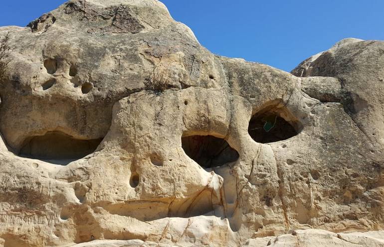
About a mile above the South Gate entrance, pull over at Rock City. This cluster of weathered sandstone formations feels like a natural playground. Soft rock sculpted by wind and water has created hollows large enough to crawl into—the famous Wind Caves—along with rounded boulders, Elephant Rock, and the prominent Sentinel Rock.
Sentinel Rock has carved steps and railings that make the short climb straightforward. From the top, you get wide views across the southern slopes. Nearby Fossil Ridge shows embedded evidence of earlier life, and Native American grinding rocks are still visible near the Grotto picnic area. Rock City is excellent for families, casual scrambling, and photography. Picnic tables make it an easy midday stop.
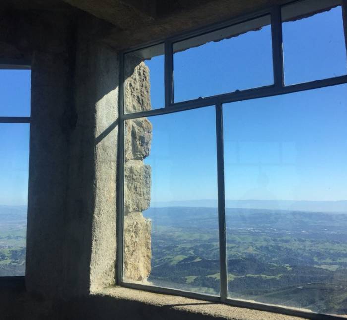
Summit Visitor Center & the Famous View
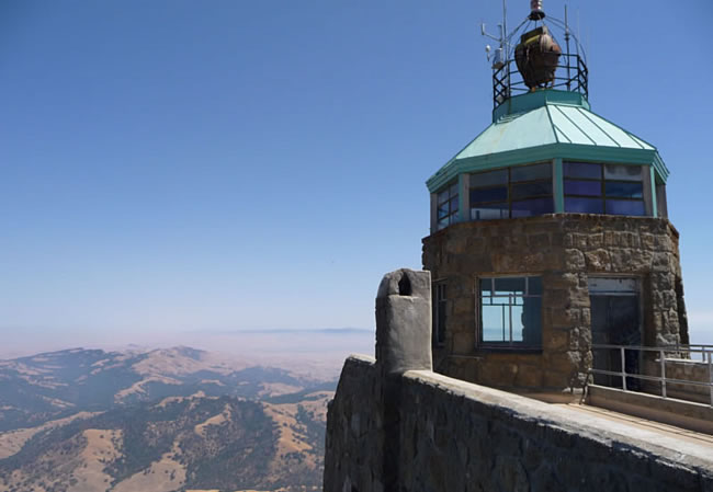
The road ends at the highest point in the park. The Summit Visitor Center, built in the late 1930s by the Civilian Conservation Corps from sandstone blocks quarried within the park, sits atop the peak. The stone building contains exhibits on the mountain’s geology, ecosystems, and cultural history, plus a gift shop.
Step outside onto the observation deck, where telescopes help you pick out distant landmarks. Above the rotunda stands a historic aviation beacon. It is lit once a year on December 7 in memory of those who died at Pearl Harbor.
On a clear day, the 360-degree view is extraordinary: San Francisco Bay, the Golden Gate, the Sacramento–San Joaquin Delta, the Central Valley, and the Sierra Nevada all come into view. The mountain’s height and isolation create one of the broadest sightlines in the state.
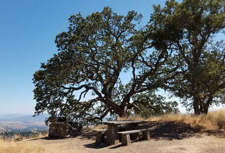
Camping at Mount Diablo State Park
The park maintains family campgrounds at Juniper (36 sites near the summit with strong views), Live Oak (22 sites near Rock City), and Junction (6 sites at the road junction, first-come, first-served). Most sites can be reserved through ReserveCalifornia up to six months in advance. Nightly fees are $30; an extra vehicle costs $10. Senior discounts apply.
Sites accept RVs or trailers up to 20 feet. Longer trailers are not recommended because of the winding roads. Showers are available at Live Oak and Juniper. Group camps also exist for larger parties. Quiet hours run from 10 p.m. to 6 a.m., and the park gates lock at sunset, so overnight campers stay inside until morning. During fire season, call ahead to confirm the park is open.
Essential Tips Before You Go
Park gates open at 8 a.m. and close at sunset. Plan to be in your vehicle and heading toward an exit before dusk so you are not locked inside. Day-use fees are $10 per vehicle at the North Gate and South Gate entrances and $6 at Mitchell Canyon and Macedo Ranch (cash only at the latter two). Senior rates are slightly lower. Park website.
Summer days are often hot and dry; winter brings cooler temperatures and possible rain, with occasional snow near the summit. Spring offers the mildest weather and the best wildflower displays. Dogs are allowed only in developed areas—picnic sites, campgrounds, and paved roads—and must stay on leash. They are not permitted on trails or in buildings. Alcohol is prohibited throughout the park.
Check road conditions and fire restrictions by calling 925-837-2525 before you leave, especially in dry months. Bring more water than you think you need, wear sturdy shoes, and carry a detailed trail map.
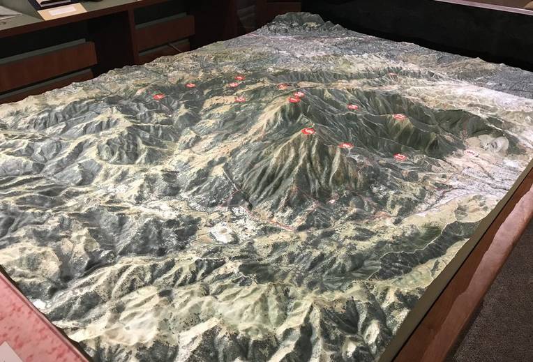
Why Visit Mount Diablo State Park?
Mount Diablo State Park rewards both the casual day-tripper and the dedicated hiker. You can drive to one of California’s great viewpoints, scramble through ancient sandstone caves, walk quiet interpretive trails, or spend the night under a dark sky. The combination of dramatic geology, wide-open views, and accessible outdoor recreation makes the mountain a standout East Bay destination.
Frequently Asked Questions about Visiting Mount Diablo State Park
What are the park hours?
Gates open at 8 a.m. and close at sunset. Visitors must be in their vehicles and exiting by sunset or risk being locked inside overnight.
How much does it cost to enter?
Day-use fees are $10 per vehicle at the main North Gate and South Gate entrances, and $6 per vehicle at Mitchell Canyon and Macedo Ranch. Annual state park passes are accepted.
Are dogs allowed?
Dogs are permitted only in developed areas (campgrounds, picnic sites, and paved roads) and must remain on a leash. They are not allowed on any trails or inside buildings.
When is the best time to visit?
Spring brings mild temperatures and peak wildflower displays, especially around Mitchell Canyon. Summer is hotter and drier. Winter can be rainy or occasionally snowy near the summit.
Can I camp at Mount Diablo?
Yes. Family campgrounds at Juniper, Live Oak, and Junction accept reservations (most sites) through ReserveCalifornia. Fees are $30 per night. Maximum vehicle length is 20 feet. Call ahead during fire season to confirm the park is open.
Is the summit road open year-round?
The road is generally open daily from 8 a.m. until sunset, but it may close temporarily due to weather, fire danger, or maintenance. Always check current conditions before driving up.
What should I bring?
Water, sun protection, sturdy shoes, a trail map, and layers. Poison oak is common, so long pants and the ability to identify the plant are useful.
The Big List: San Francisco Bay Area Day Trips & Hidden Gems
Discover more from Daytrippen.com
Subscribe to get the latest posts sent to your email.