- 54
- 57shares
- Like
- X
- Digg
- Tumblr
- VKontakte
- Buffer
- Love This
- Odnoklassniki
- Meneame
- Blogger
- Amazon
- Yahoo Mail
- Gmail
- AOL
- Newsvine
- HackerNews
- Evernote
- MySpace
- Mail.ru
- Viadeo
- Line
- Comments
- SMS
- Viber
- Telegram
- Subscribe
- Facebook Messenger
- Kakao
- LiveJournal
- Yammer
- Edgar
- Fintel
- Mix
- Instapaper
- Copy Link
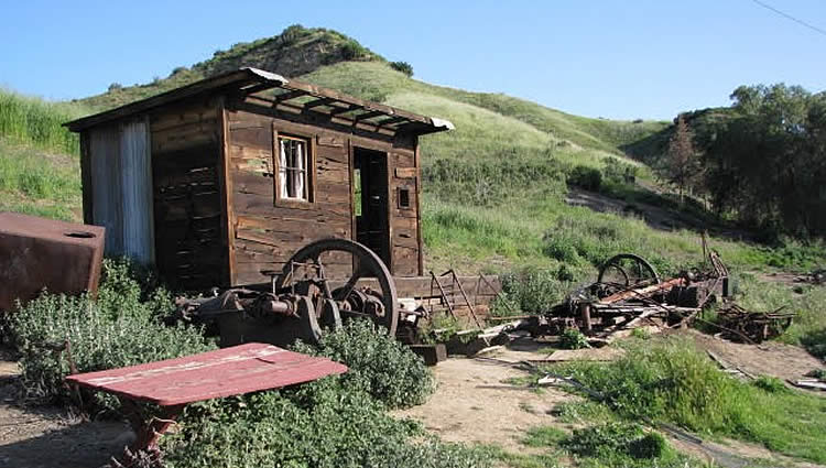
Mentryville, named after California oil tycoon Charles Alexander Mentry, is nestled at the base of the chaparral-covered hills of Pico Canyon. It was one of the first oil boomtowns in the state and, in the early 1930s, housed over 100 families. The settlement was built around its oil well located at the north end of Santa Clarita Woodlands Park. Known as Pico No. 4, the first commercially successful oil well in California, it began to drill in 1878 and produced millions of oil until it was shut down in 1990.
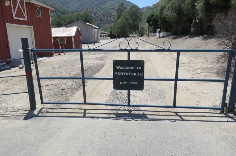
Turn-of-the-Century California History
The then-owner Chevron donated the Mentryville site and the surrounding 800 acres in Pico Canyon to the Santa Monica Mountains Conservancy in 1995. Today, the canyon offers hikers, bikers, and equestrians an opportunity to explore the backcountry of Pico Canyon and the nearby Santa Susana Mountains and a unique glimpse of early turn-of-the-century California history.
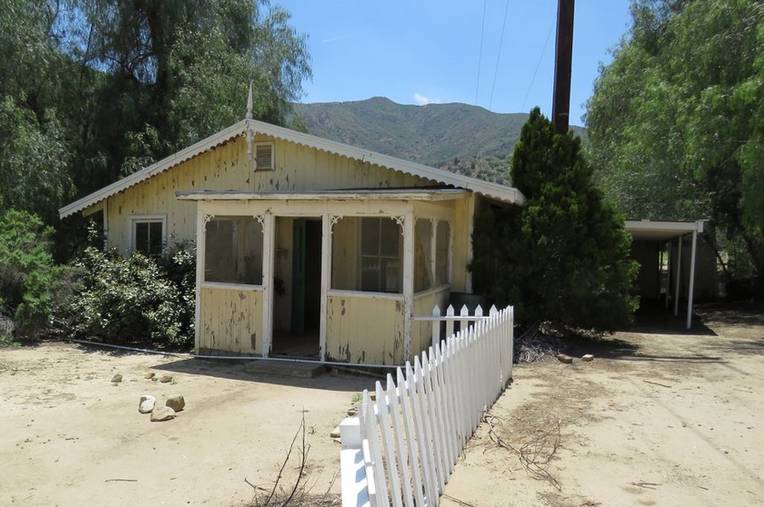
Mentryville Original Buildings
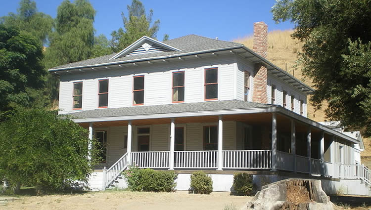
Mentryville is California Historical Landmark numbers 516-1 and 2. The few remaining structures, which include Mentry’s restored thirteen-room Pennsylvania-style mansion, the one-room Felton schoolhouse, and a period barn, stand as silent reminders of a long-gone era when migrant prospectors of gold, both yellow and black, traveled from one location to the next on the news of a fresh strike. There are also remnants of numerous oil industry-related artifacts that can be found on the site and along some of the trails leading into and out of Mentryville.
Pico Canyon, Beyond Mentryville
If you decide to hike out of Mentryville, the trail goes up to a cool picnic area, which used to be the party area for the oil well workers. On both sides along the way, you can see how steep the angle of the beds of the Pico anticline is. Continuing straight, on the other side of the creek are the remains of the bakery built by Anthony Cochems, a baker for Standard Oil Company, in 1897. To the left of the old bakery is Minnie-Lotta Canyon, named for two girls who lived in Mentryville at once — Minnie and Lotta.
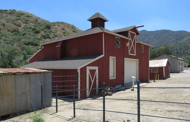
Santa Susana Mountains
In the Santa Susana Mountains, numerous trails traverse the chaparral shrubland, grasslands, and oak savanna. In addition to Santa Clarita Woodlands Park, several other parks are in the area, including Ed Davis Park, Rocky Peak Park, and O’Melveny Park, at the eastern end of the mountains.
Unique Geologic Features
The 60,000-acre Santa Monica Mountains Conservancy encompasses strange geologic features and several astonishingly lush canyons. The 4.8-mile loop through Towsley and Wiley Canyons is an excellent way to experience the area’s ever-changing habitats. Ed Davis Park, with a picnic area and a nature center, is a great place to start your adventure.
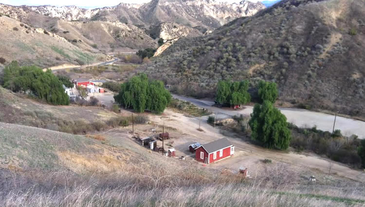
Mentryville Nearby Hiking Trails
Hikers can begin trekking up the broad floodplain of Towsley Canyon along the canyon’s creek with its foamy beige water, faint sulfurous smell, and oozing tar. Before any oil was extracted for commercial purposes here, the Tataviam Indians of the area used this naturally occurring asphalt for medicinal purposes and to seal their basketry.
Deeper into the canyon, the scenery changes as you reach the portals of the Narrows, a slot like a cleft worn through layers of vertical sandstone. After a brief passage through the Narrows, hikers begin climbing the canyon slope to the left on the Towsley View Loop Trail, which quickly evolves into a narrow, single-track trail that can be negotiated on foot or mountain bike.
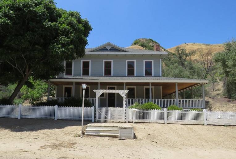
Towsley Lodge Ranch House
You can see Towsley Lodge, a beautiful Spanish-style ranch house available for private day or overnight group rental atop a sizeable green knoll. After numerous switchbacks and reaching a high point of 2,450 feet, the trail begins to pitch downward, descending steeply into the shady depths of Wiley Canyon and eventually back down to Ed Davis Park.
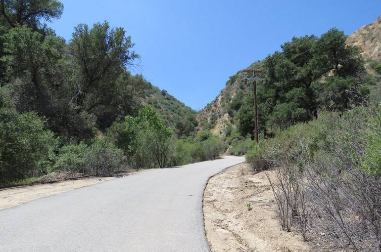
Directions to Mentryville Ghost Town
Access to Pico Canyon, Mentryville, and parks is easy. It is just a short drive from downtown Los Angeles and Orange Counties. From the Golden State Freeway (I-5) in Valencia, exit on Lyons-Pico Canyon Road. Head west on Pico Canyon Road. Near its end, take a left at a Y and continue to the road’s end. A large parking lot is opposite historic Mentryville.
If the MRCA gate is closed and locked, park at this point and walk into the park. If the gate is open, you can park in the park. There is a small fee to park your vehicle. The best time to visit is in late fall and early spring when the weather is moderate but dry. 27201 Pico Canyon Road, Newhall, California. Visiting Mentryville is a do-friendly activity- Website.
Discover California and Nevada Ghost Towns
Kern County Day Trip Ideas
Visiting the Santa Clarita Valley
- 54
- 57shares
- Like
- X
- Digg
- Tumblr
- VKontakte
- Buffer
- Love This
- Odnoklassniki
- Meneame
- Blogger
- Amazon
- Yahoo Mail
- Gmail
- AOL
- Newsvine
- HackerNews
- Evernote
- MySpace
- Mail.ru
- Viadeo
- Line
- Comments
- SMS
- Viber
- Telegram
- Subscribe
- Facebook Messenger
- Kakao
- LiveJournal
- Yammer
- Edgar
- Fintel
- Mix
- Instapaper
- Copy Link
Hey, great article on Mentryville, totally enjoyed the historical insights. I love the sound of the trails around Pico Canyon, especially with all the remnants and the history tied to it.